
LiDAR
Elevation Models | 3D Point Clouds | Bare Earth | Renders

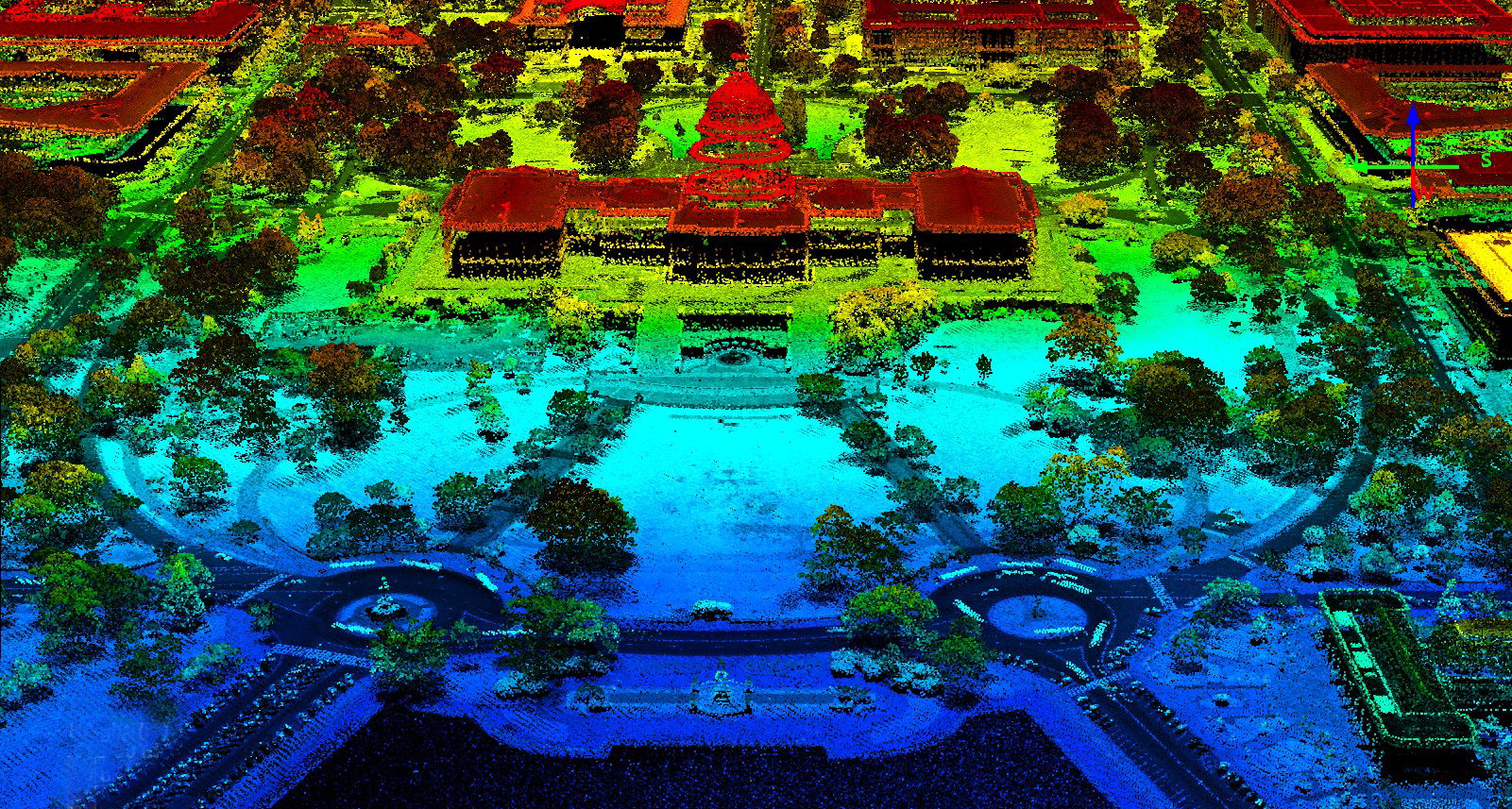
Create Elevation Models
Our outputs are channelled to your requirements, We can provide three dimensional DTM data sets by filtering vegetation, man-made and any other ground features. This gives the output of the bare earth in any of the requested formats. XM2 EARTH also can created digital surface models, reflecting the first reflected surface detected by the sensor and will include all above earth features.


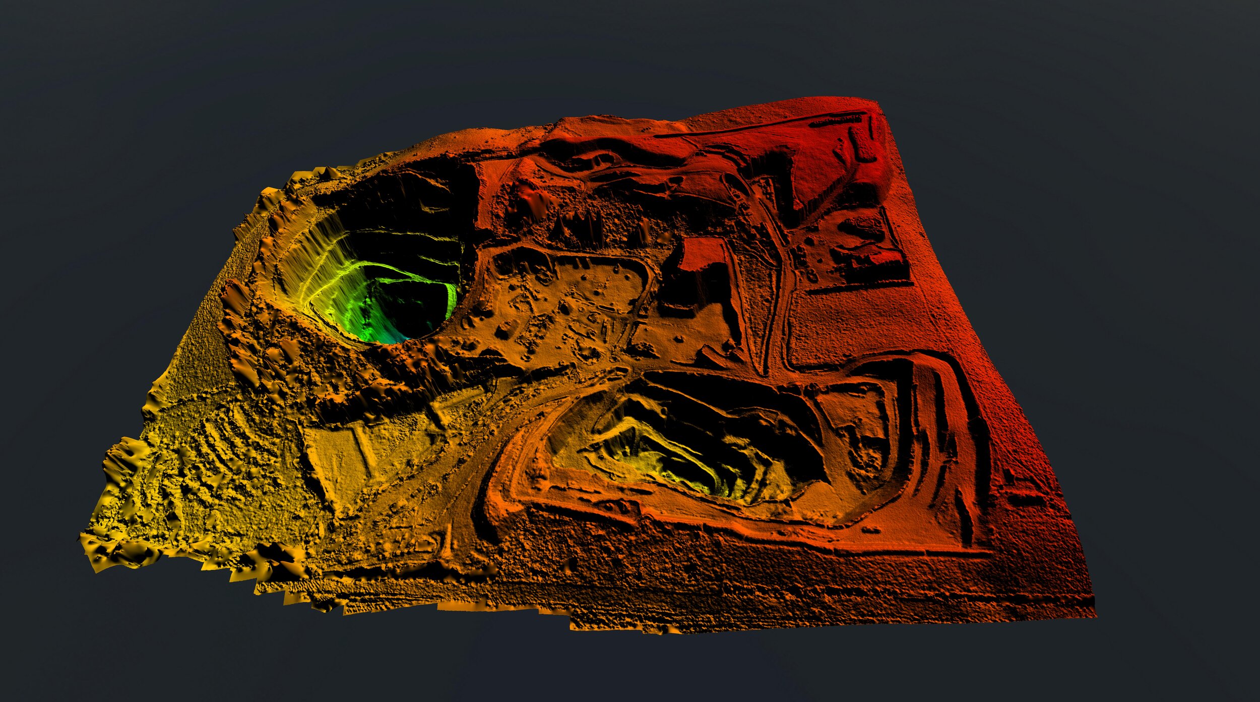
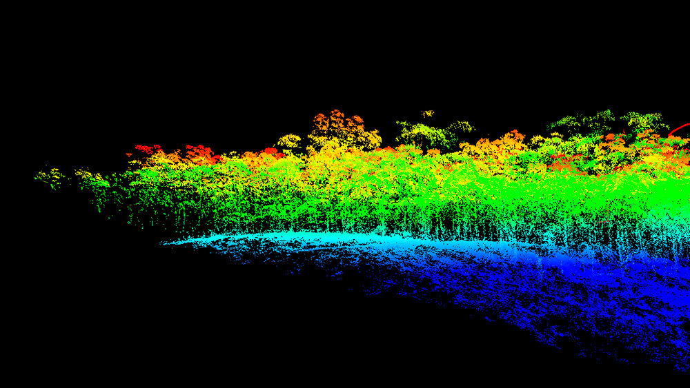
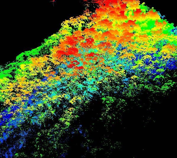
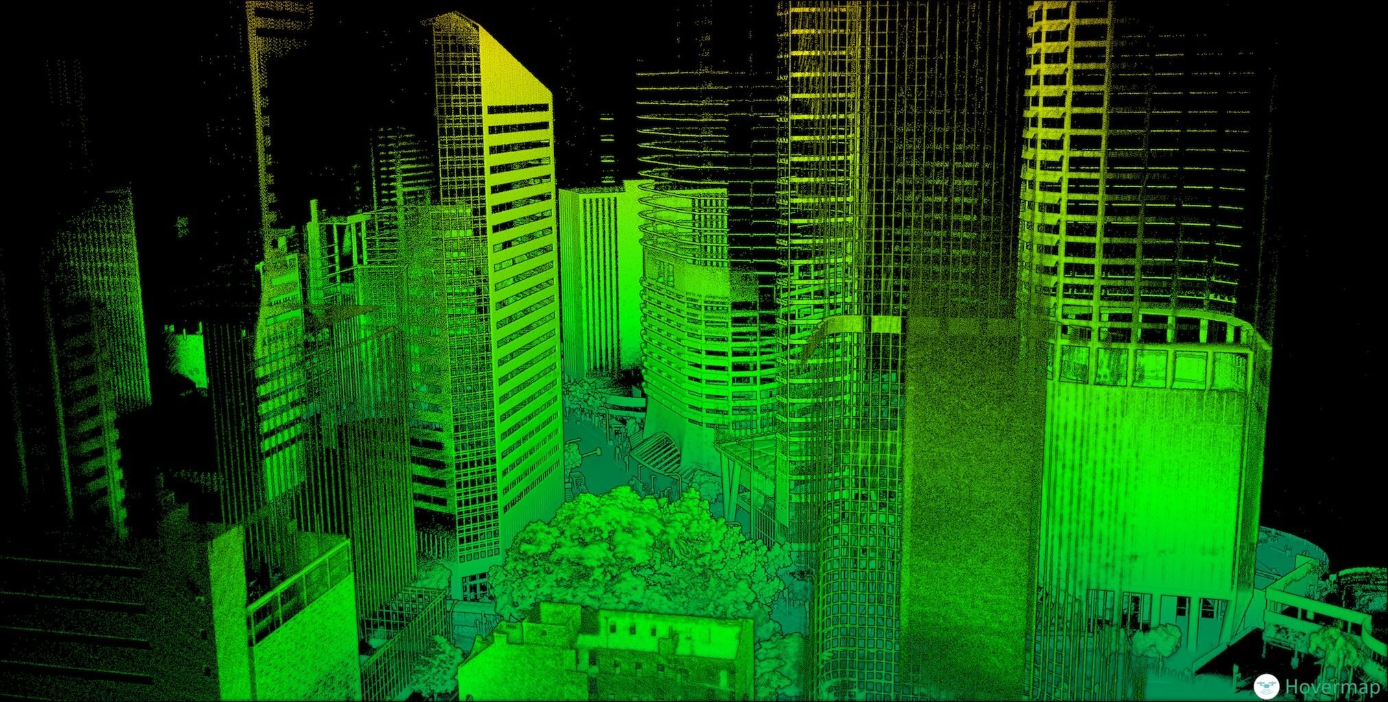
3D Point Clouds for Complex Terrain
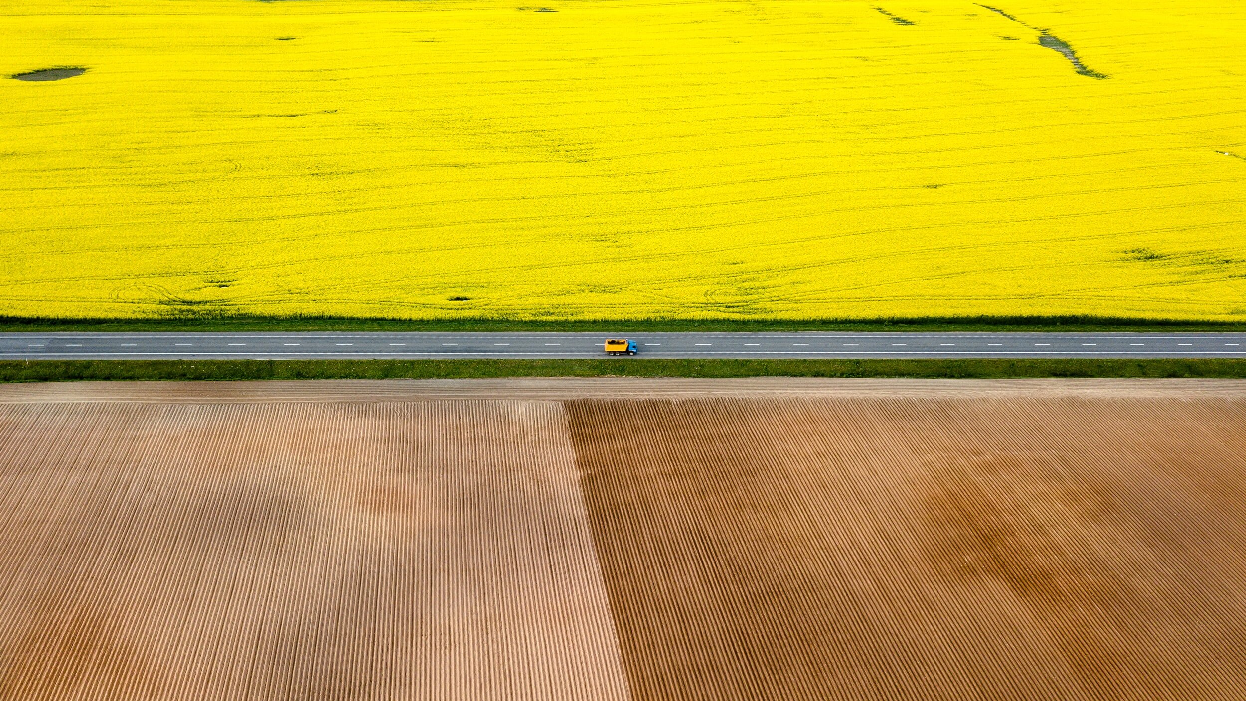
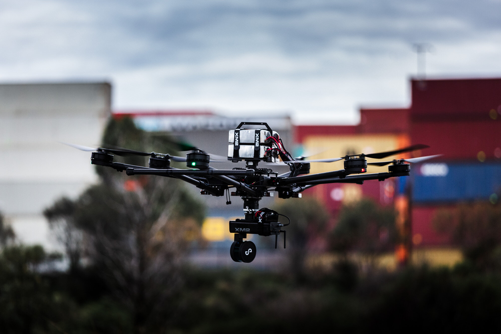
Our LiDAR sensors are long-range with a powerful laser source, providing accurate three-dimensional views of the ground surface. From cities across the globe to inaccessible cliffs in Jordan - we have scanned it.


What We Have Achieved
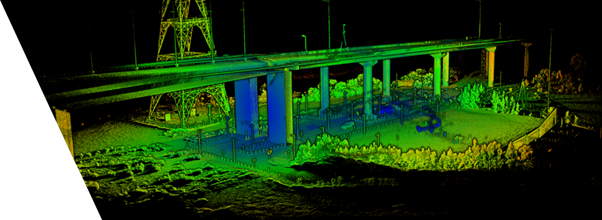
XM2 EARTH deploys UVTs to capture data that’s used to develop highly accurate 3D models of large sets, environments, and locations. These models eliminate the need to shoot in situ in inaccessible and inhospitable terrains and are used for a variety of purposes. Since 2017, XM2 EARTH’s LiDAR team has been on 40 projects in 10 countries. XM2 EARTH deploys .With 40+ minute flight endurance, XM2 EARTH was able to capture kilometres of cliff faces both vertically and horizontally in a fraction of the time that it would have taken with traditional methods.XM2 EARTH’s terrestrial rover ‘Charlie’ to capture the underside of set pieces such as bridges and train carriages.

Benefits of LiDAR
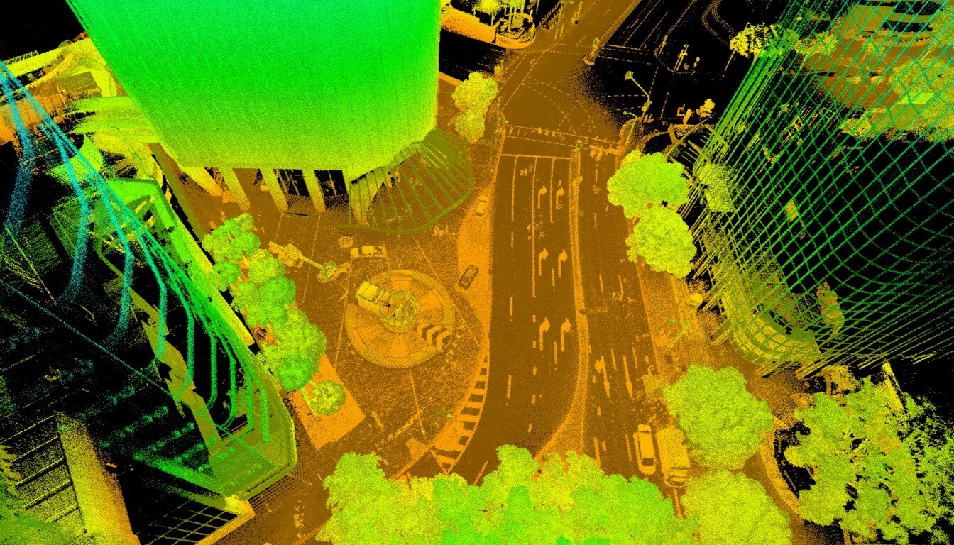
LiDAR (Light Detection and Ranging) uses millions of laser point measurements to build a model of the ground surface. Raw LiDAR data models ground, vegetation, and infrastructure. To generate a ‘bare earth’ surface. Raw data is edited by automated and manual means to remove surface features. Aerial photography is generally acquired with LiDAR surveys providing an additional data set to increase the value of the LiDAR model.
Send us an email today